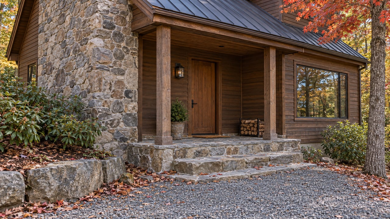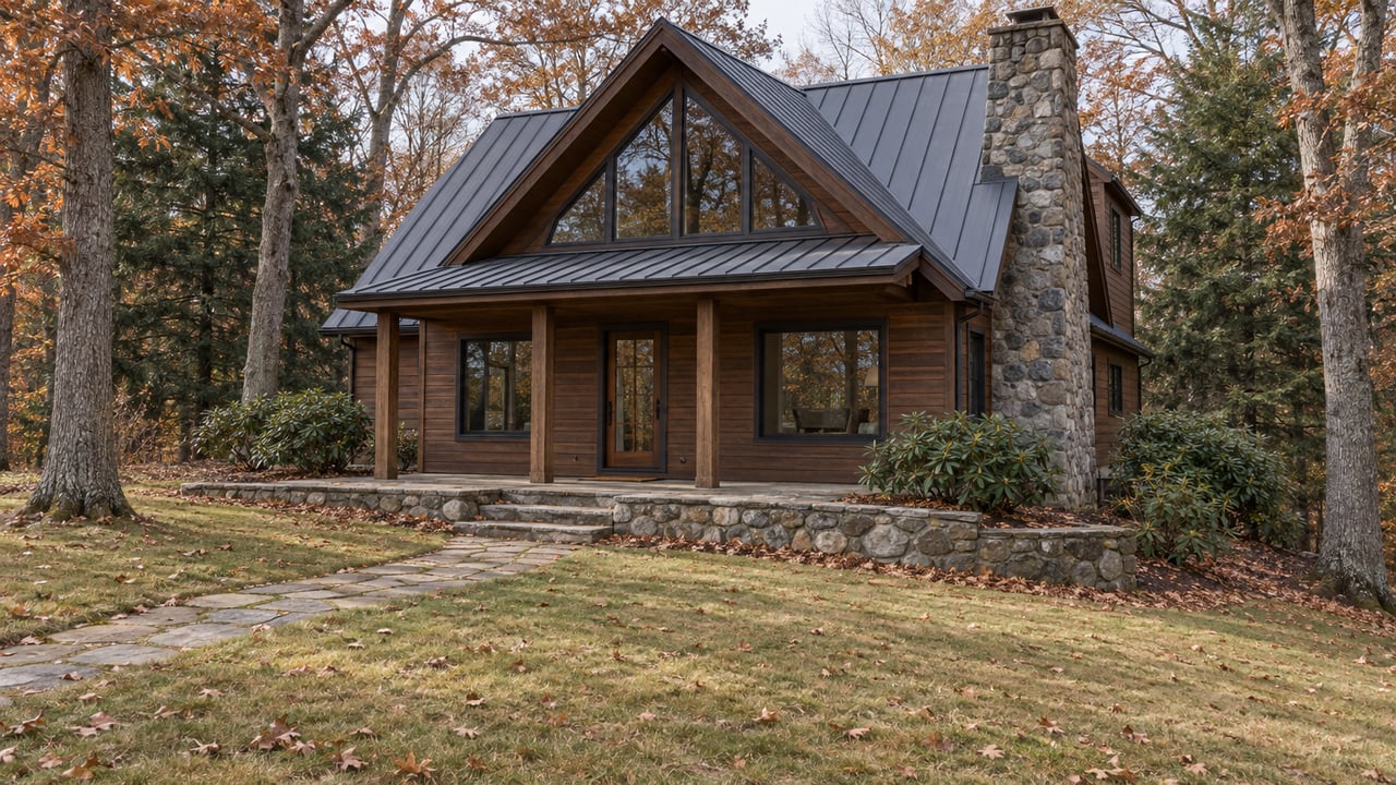
Most Lake Chatuge listing photos were taken near summer level, and anyone touring lakefront this month is seeing a different lake. TVA's gauge read 1,918.40 feet at midnight on November 1, 2026. That's about 8 feet below the June 1 flood guide of 1,926 feet, and the lake will keep dropping toward a mid-February low.
A winter showing tells you how much water sits at the end of a dock. A TVA parcel map shows whether the shoreline in front of the house belongs to the owner or to TVA. On Chatuge, that split runs close to half and half. It decides who has the right to fix shallow water and how.
The lake you're touring this month
TVA runs Chatuge on a seasonal curve. In a year with normal rainfall, the level swings about 10 feet between summer and winter to make room for flood storage.
| Point on TVA's curve | Elevation | What it means for a showing |
|---|---|---|
| June 1 flood guide | 1,926 ft | Close to the lake in most summer listing photos |
| November 1, 2026 actual | 1,918.40 ft | Roughly the lake you're seeing in mid-November |
| January 1 flood guide | 1,918 ft | The winter flood-control level |
| Guide-curve low, mid-February | 1,915 ft | The shallowest the dock will normally sit |
That mid-February low matters more than it looks, because TVA's own rules measure "enough water" at the winter low. When TVA approves a boat channel on its shoreland, the channel can be no bigger than what it takes to get three feet of navigable depth at the minimum winter water elevation. So a lot that looks marginal on a gray November afternoon is being judged by the same yardstick TVA uses.
Floating docks feel this first. Martin Docks, a dock builder working in Hiawassee, says floating docks on Chatuge can end up stranded on shallow banks during winter drawdown, which can twist or ground them. Its advice is to move docks deeper as the water falls and pull them back toward shore as it rises in spring.
Half the shoreline belongs to TVA, half to the lot owners
What a buyer can do about shallow water depends on who owns the ground under it. In its 2009 Mountain Reservoirs Land Management Plan, TVA said it owns about 52 percent of Chatuge's 128 shoreline miles. TVA never owned the other 48 percent. Along that half, TVA bought only flowage easements, the right to flood the land, and the land itself stayed private.
The same plan estimated that about 57 percent of the shoreline was available for residential development, mostly on private shoreline, and that about 42 percent of the lake's total shoreline was already built out in residential subdivisions. So two houses on the same cove, with similar docks and similar views, can sit on different sides of that line.
Where TVA owns the shoreline, the boundary between TVA's marginal strip and the private lot often follows the Maximum Shoreline Contour. On Chatuge, the plan sets that contour at 1,933 feet. On the flowage side, TVA notes that its easement rights were generally acquired up to a contour.
Fronting TVA land, the fix for shallow water is narrow
TVA's Section 26a regulations set out when a boat channel can be dug on TVA-owned residential access shoreland. Every one of these conditions applies:
- TVA approves it only when there is no other practicable way to get enough water depth and the work wouldn't substantially affect sensitive resources.
- No more than 150 cubic yards of material can come out for an individual channel.
- The channel can be no longer, wider or deeper than needed for three feet of water at the minimum winter elevation.
- Each abutting owner can be considered for only one boat channel or harbor.
- The digging has to happen during drawdown, while the reservoir bottom is exposed and dry.
- Spoil has to go to an upland site above the TVA Flood Risk Profile elevation.
The shoreline itself carries limits too. On TVA-owned residential access shoreland, an owner may have an access corridor up to 20 feet wide. Across the 50-foot-deep shoreline management zone, tree cutting and vegetation removal are generally off-limits, apart from TVA-preapproved work inside that corridor. A buyer hoping to open up a view or deepen a slip on this kind of lot is working inside a tight box.
On private bottom under a flowage easement, the rules start elsewhere
Lots on the flowage-easement half are governed differently. For privately owned reservoir bottom under a TVA flowage easement, the regulation says digging a channel doesn't need Section 26a approval if the spoil goes above the applicable floodplain or TVA flood-risk profile and the work isn't connected to a structure that needs a permit. Fill placed in the flood-control zone still needs TVA approval.
TVA's dredging and excavation guidance explains how that plays out. TVA reviews dredging on its own land, and it also reviews dredging done in connection with a permitted dock or similar structure. A standalone dredge on flowage land generally isn't reviewed unless the spoil lands in the specified floodplain or flood-control areas. Clearing vegetation on privately owned flowage-easement shoreland also generally doesn't need TVA approval.
Put that next to the previous section and the difference is plain. On the TVA half, a shallow cove is a permit question with fixed limits. On the flowage half, it's more often a question of where the dirt goes and whether a dock is involved.
What every Chatuge dock shares, including the 60-day clock
Some rules apply on either side of the line. A private residential facility's total footprint is generally capped at 1,000 square feet, or 1,800 square feet for qualifying development that existed before November 1, 1999. Access walkways don't count toward that total. A dock and walkway can extend no more than 150 feet from shore, or one-third of the distance to the opposite shoreline if that is less. Any repair that changes a facility's size or modifies its structure needs TVA approval, and so does new construction.
The rule that catches buyers comes after closing. A new owner must notify TVA within 60 days and apply to have the existing permit reissued. The owner can keep using the existing facilities while TVA decides, and reissuance depends on the dock being in good repair and meeting the standards that applied when it was first permitted. That makes the dock's condition, which a winter showing puts in plain view, part of the paperwork as well as the purchase price.
Timing also favors fall and winter. Martin Docks estimates TVA permit approval at anywhere from a few weeks to a couple of months, and it recommends starting dock planning and permits in autumn or winter so a dock is ready by summer. Channel work on TVA shoreland can only happen in the dry-bottom drawdown months anyway, so a purchase that closes this winter falls in that window.
Checking which half a lot sits on
Before making an offer, a buyer can check a lot with TVA's own tools.
- TVA's GIS viewer. TVA's reservoir land management plans page links an interactive map for looking up individual TVA parcels and their land-use allocations. TVA notes that the parcel descriptions date from when each plan was written and may be out of date.
- The Chatuge plan itself. The Chatuge Reservoir Land Management Plan page covers 1,765.1 acres of TVA land on the lake, divided into 110 parcels, each assigned one land-use zone.
- A person at TVA. TVA's regional contacts page lists the Murphy, North Carolina region as covering Chatuge, with Ryan Cook as program manager. It directs questions to the Public Land Information Center at 1-800-882-5263 or [email protected].
The bigger drawdown on TVA's calendar
The normal winter curve isn't the only drawdown on the schedule. TVA's Chatuge Dam Safety Modifications page, last updated January 16, 2026, lays out a timeline: a Draft EIS in fall or winter 2026, a Final EIS in late 2026 or early 2027, a decision in early 2027, and possible construction starting between summer 2028 and fall 2029. If TVA picks one of the action alternatives, the page describes an off-season lowering to 1,908 feet, about 10 feet below winter level, with refill dependent on rainfall.
The Towns County Herald reported on October 21, 2026 that Hiawassee Mayor Jay Chastain's latest update was that the lake might not need to be drawn down as far as first expected. The paper also reported that an earlier assessment put the cost of adapting Hiawassee's water treatment plant to the proposed drawdown at about $5 million, and that the mayor said the plant upgrades are needed regardless. TVA's project page still lists 1,908 feet for the action alternatives. For a buyer looking at a shallow cove, a dock's depth at 1,915 feet in February is the everyday test, and the project level is the one to keep an eye on.
Quick answers
Is Chatuge at its lowest point in November? No. TVA's guide curve bottoms out at 1,915 feet in mid-February, a few feet below the November 1, 2026 reading of 1,918.40 feet.
Does a dock permit carry over to a new owner automatically? No. The new owner notifies TVA within 60 days and applies for reissuance, and can keep using the facilities while TVA reviews the application.
Can a cove be dug deeper in summer? On TVA-owned residential access shoreland, approved channel work has to happen during drawdown, while the bottom is exposed and dry.
Everything here is general information about TVA's published rules, not legal or financial advice. Please confirm what applies to a specific parcel with TVA and the right professional before you rely on it.
If you're touring Chatuge lakefront this winter, I'm happy to walk the shoreline with you at winter pool, pull up the TVA parcel map and the deed, and talk through what the depth at the dock means for the lot you're considering. Schedule a free consultation with Melissa Jenkins Stillwell and we'll start with the water.